SINTHICITY MAPPING MANHATTAN
USA, 2015
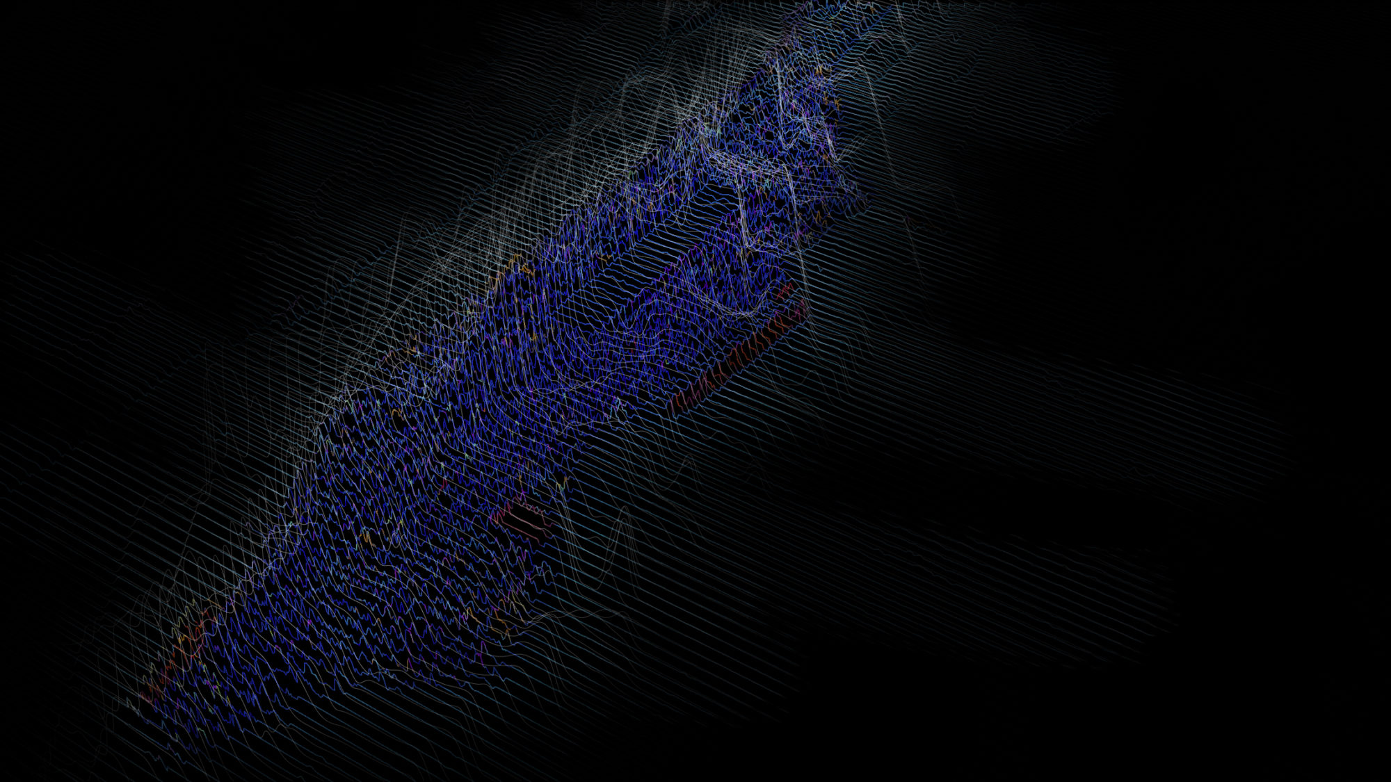
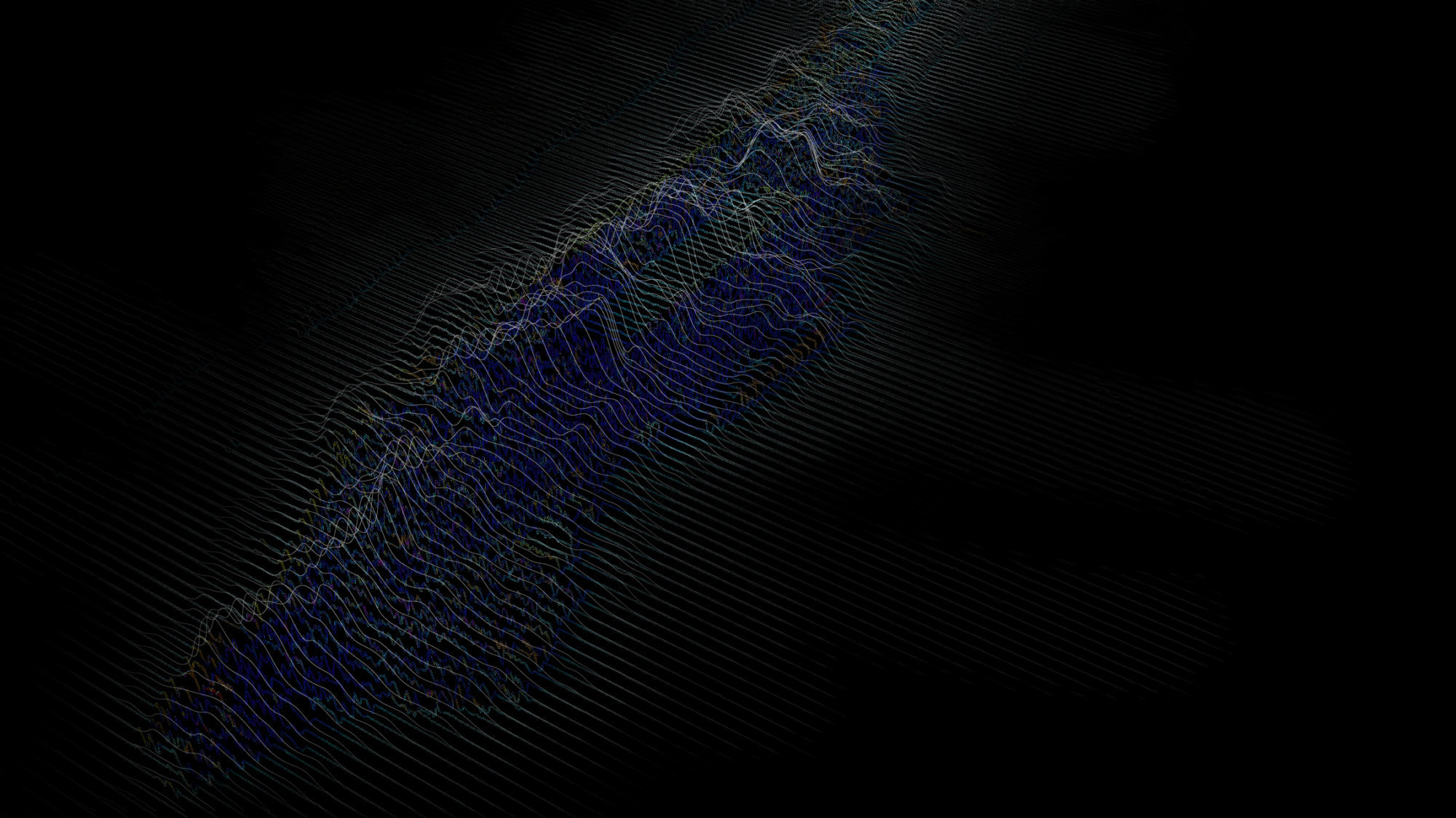
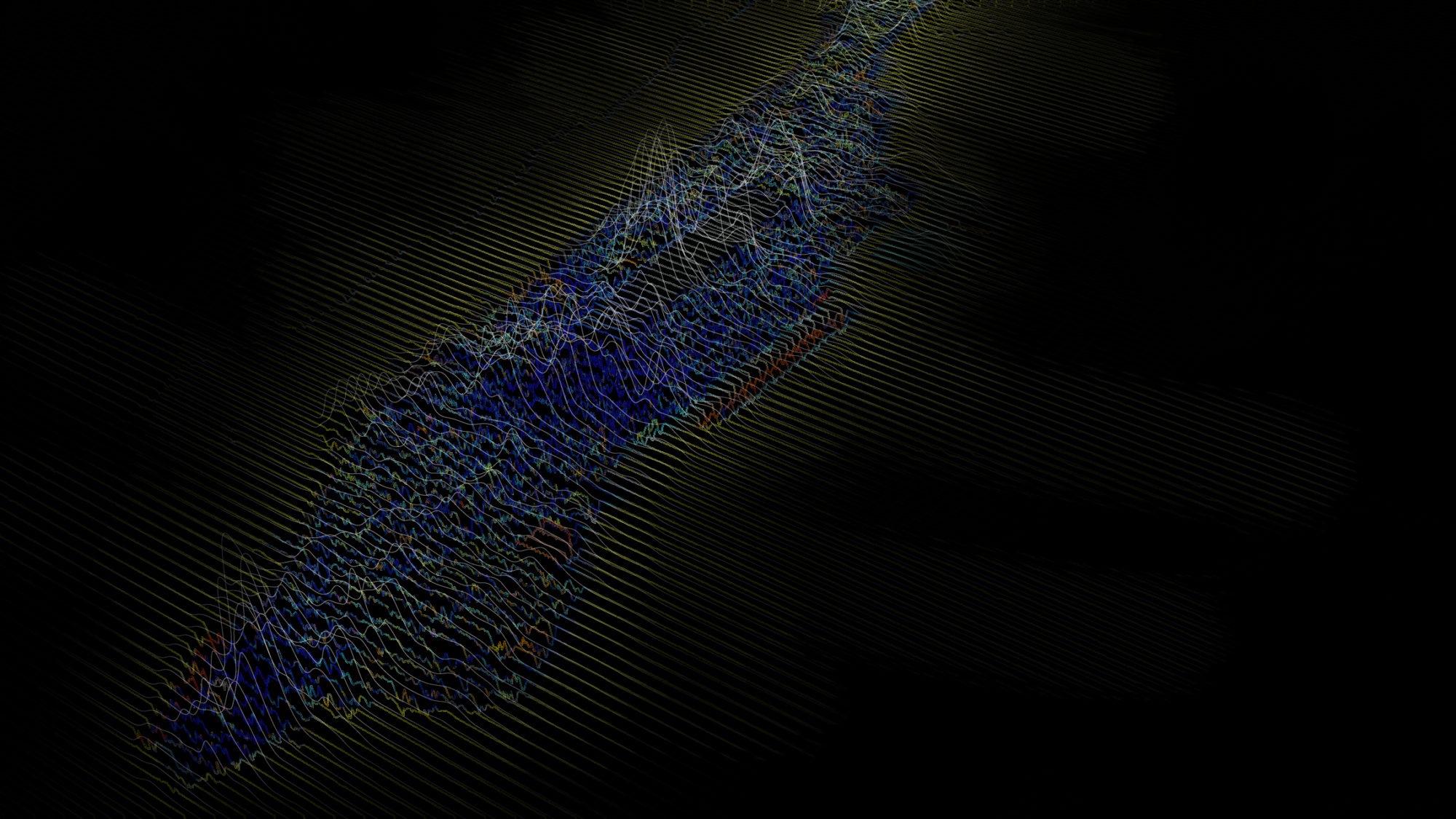
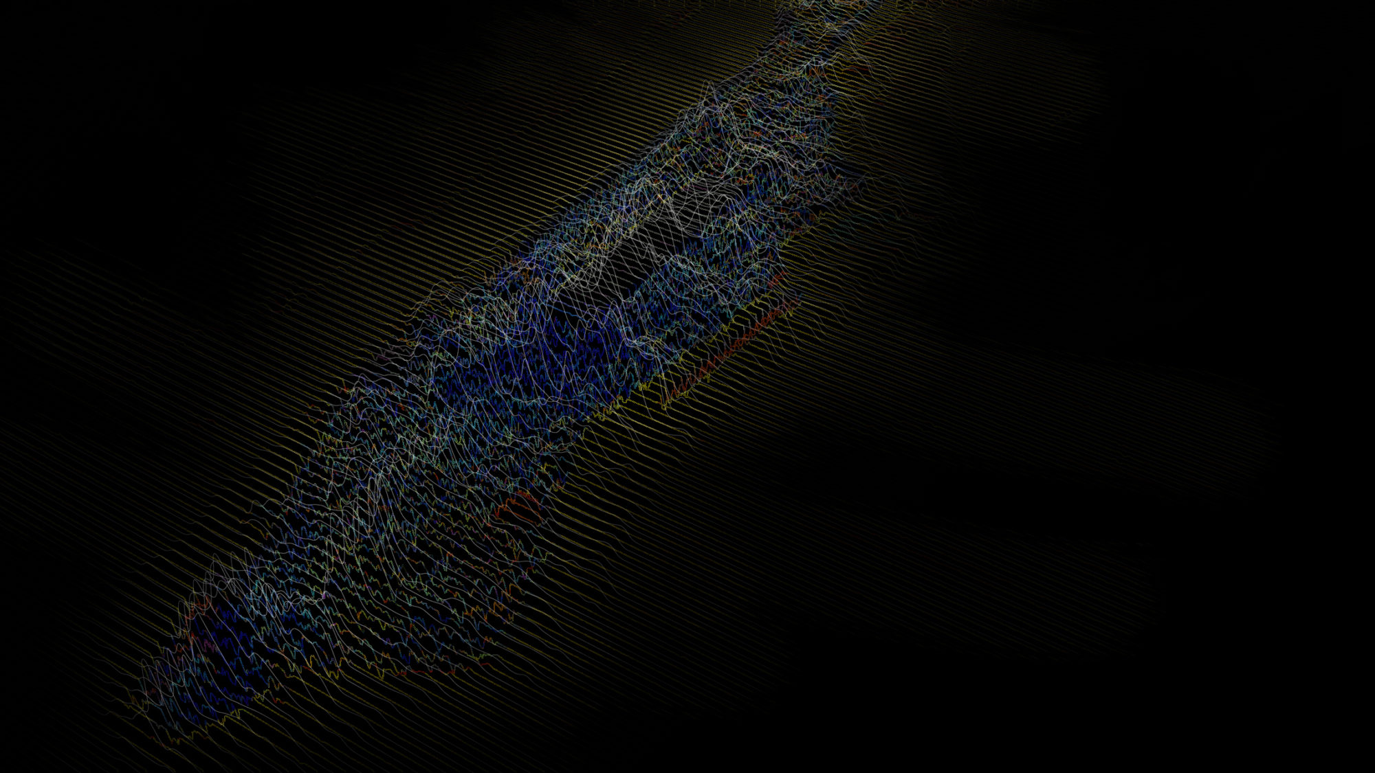
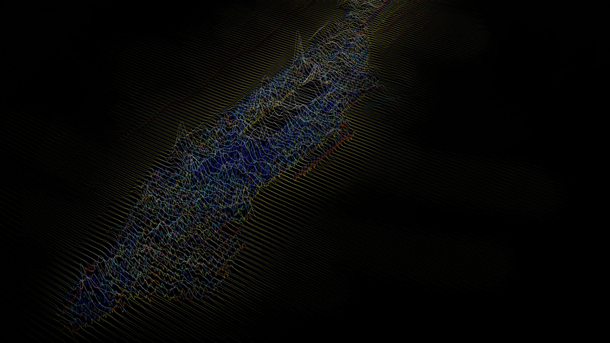
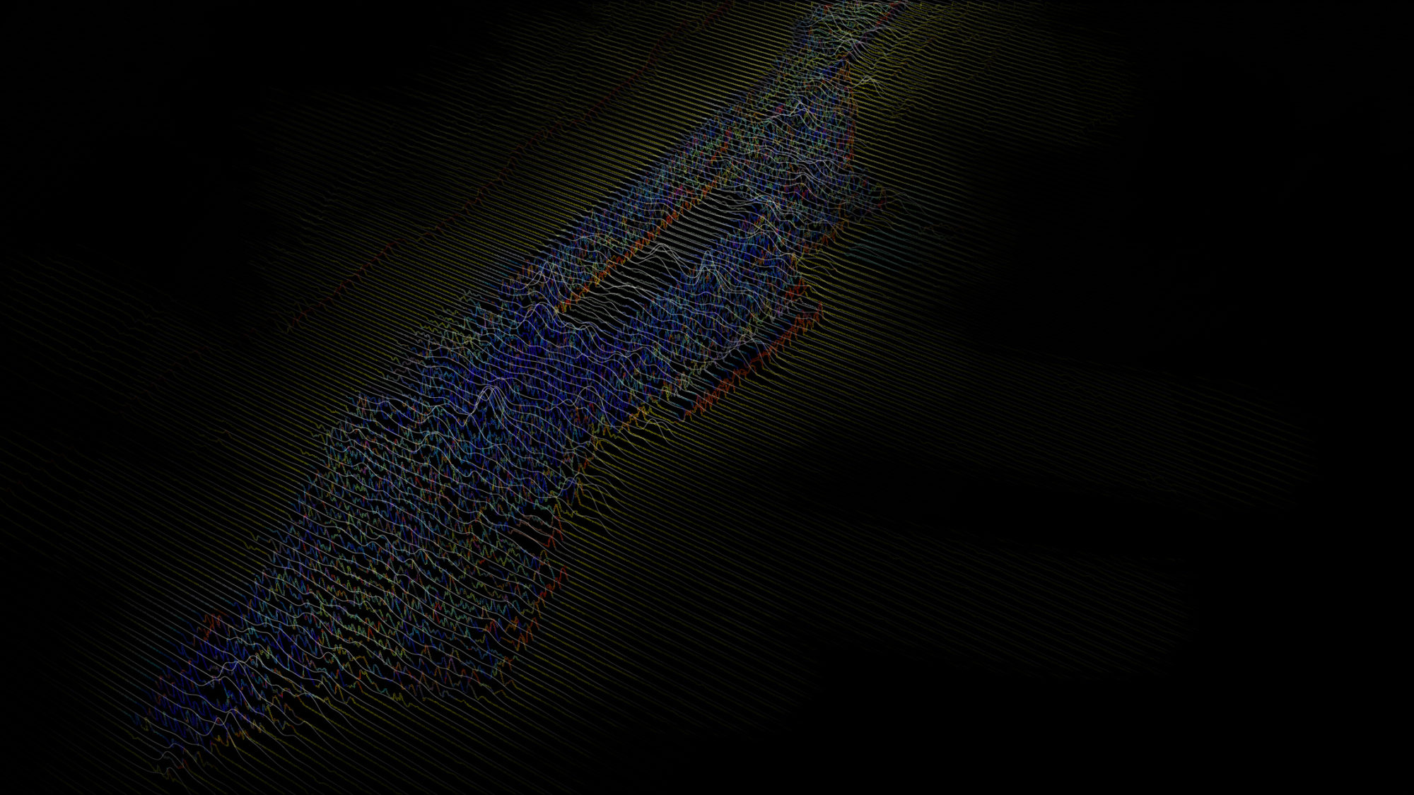
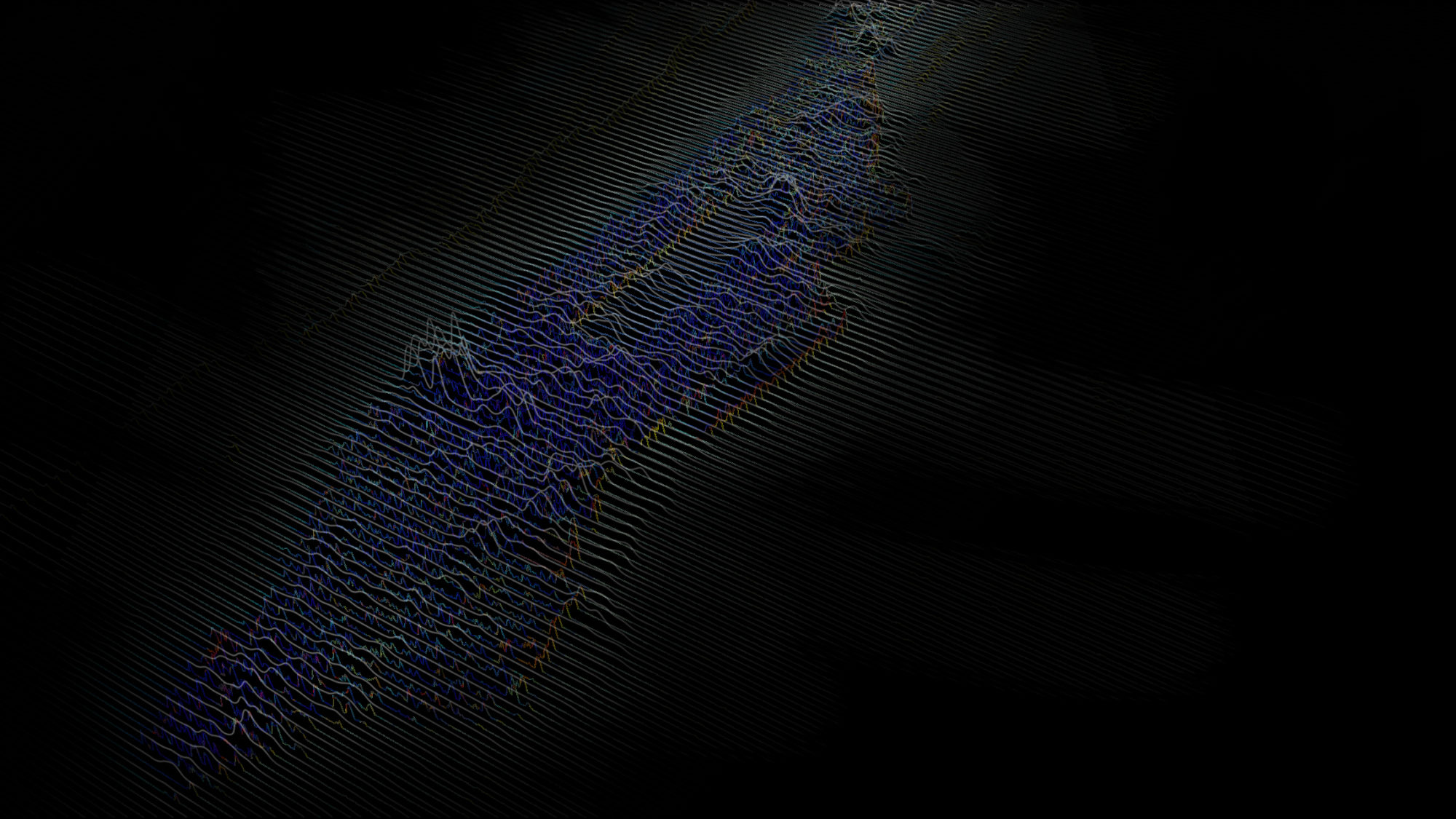
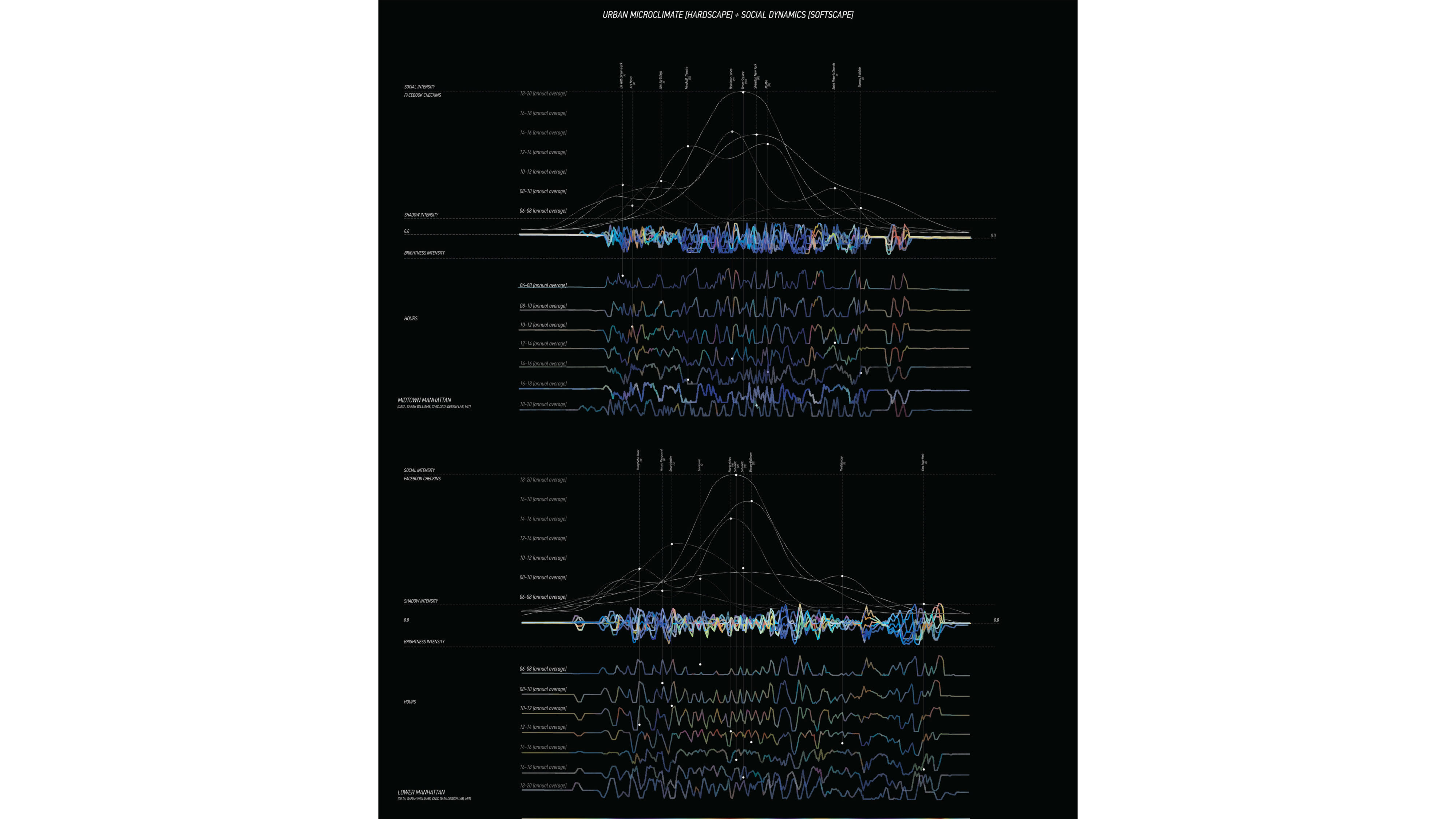
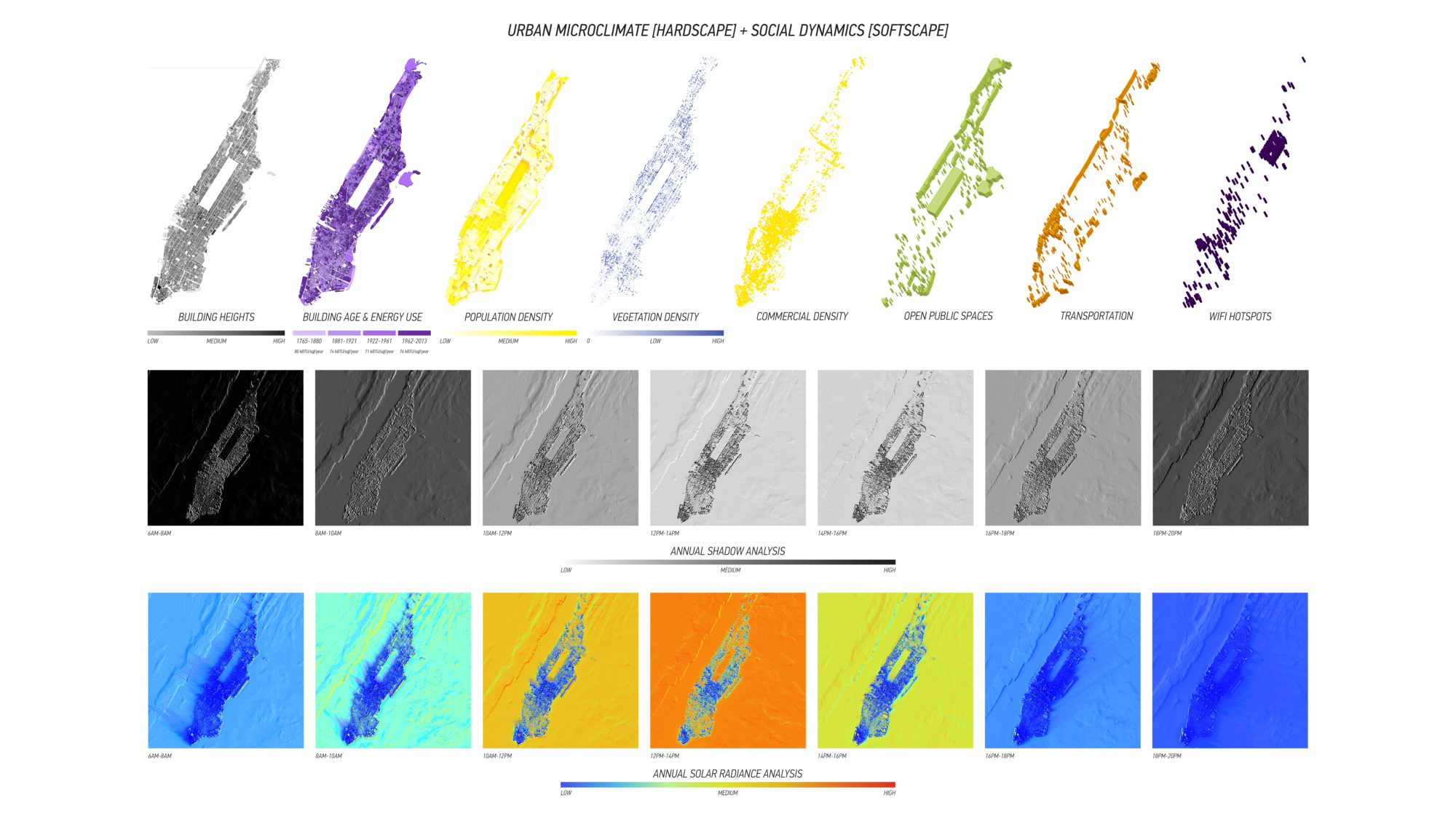
The approach is to understand Manhattan and its complexities through the visualization of its dynamic surfaces. The research puts it into a classification of “hardscape” (the precondition form of the city) and “softscape” (the social dynamics), throughout time. The pre-condition surface “hardscape” is the urban microclimates, but in a contemporary conception of it. The analysis consists of solar radiation, trees, hydrology, building age, building height and shadows. The social dynamics “softscape” is conformed by the social interactions within the city measured by their checkins through social media geolocated. They are classified per time of the day and the activities in each location.
How comfort in Manhattan’s streetscape and its vibrancy is affected by the neighborhood microclimate conditions?
It is precisely the intersection of the “hardscape and “softscape” that the creation of this graphic artifact lies. In so, you can read the specific times and interactions in lower and midtown Manhattan. The objective is to find a correlation between the city and the social media data.
Through this reconstruction of a climate understanding social density and urban microclimate we can start doing readings of succesful spaces throughout the city.
GIS Workshop
Team: Renia Kagkou - Claudia Tomateo
Harvard Graduate School of Design